NATURE & LANDSCAPES
MOUNT ARARAT
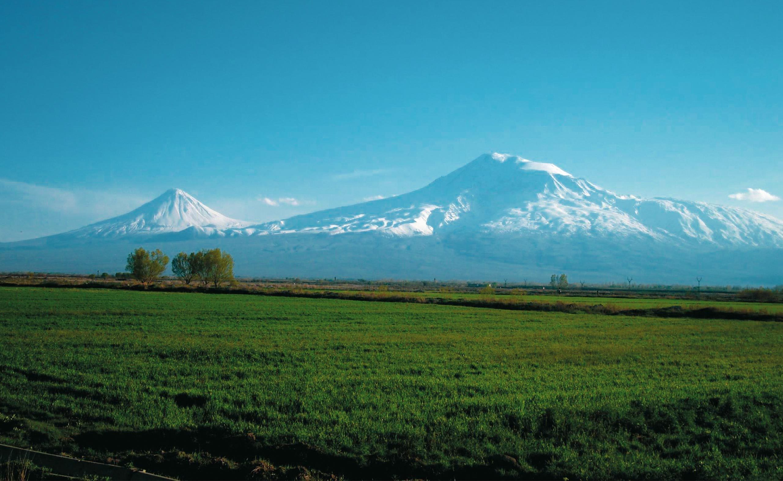
Place created by God. In the south of the Ararat plain, facing the city of Yerevan, Mount Ararat rises, one of the most beautiful mountains in the world. Although Mount Ararat is located in today’s Turkey, it continues to be the symbol of Armenia’s biblical roots. In the Armenian language Ararat means “Creation of God” or “Place created by God”. The myth of Ararat belongs to the Holy Scriptures which calls Armenia “the country of Ararat”. Here the Genesis wants the Noah’s ark to be settled after the flood. When you look at the mountain, 5165 m high, you can become quite emotional. One has the impression that, despite its colossal measures, the great peak that overlooks the Great Ararat is in constant conversation with the younger brother, the Little Ararat 3890 m high. It is almost impossible to look at them and not to philosophize about them. The Armenians still call him “the mother of the world” …
MOUNT ARAGATS
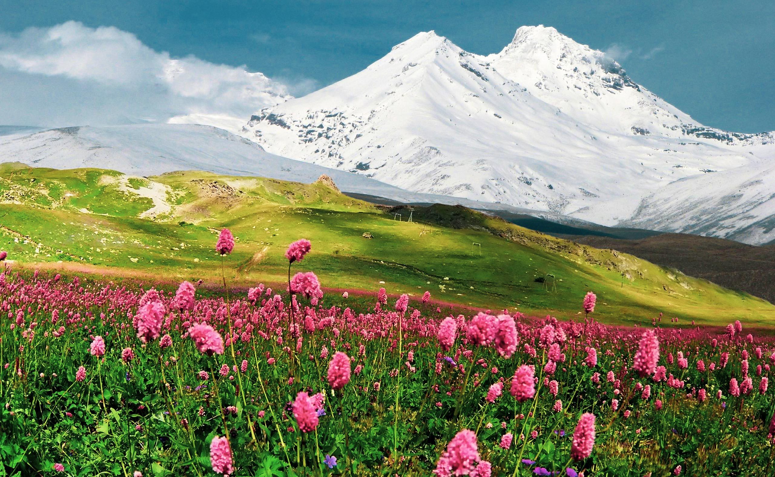
Mount Aragats is the highest mountain in present-day Armenia: an element of a series of small Caucasus plateaus, Armenia rises at more than 1000 m above sea level. It is a country sheltered by mountain ranges topped by some extinct volcanoes including Mount Aragats, 4090 m, the highest and mighty place in present-day Armenia. The beautiful landscape of the foothills and the mountainous areas, and the numerous monuments on the slopes, allow you to classify the Aragats among the most interesting peaks, which attract lovers of hiking and mountain climbing. On the top there are some alpine routes.
GEGHAMA CHAIN
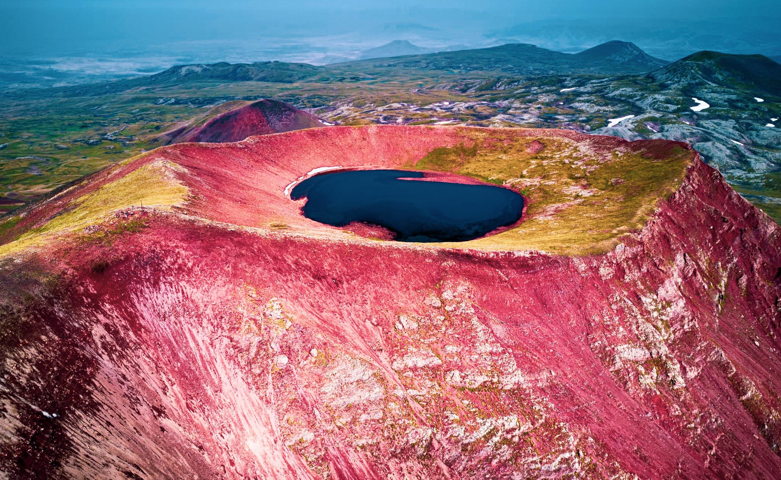
The Geghama mountain range bears the name of Gegham, the great-grandson of Noah. The chain is of volcanic origin and includes a vast amount of extinct volcanoes. The average height of the chain is about 2500 m above the sea level. 70 km long and 48 km wide, the Geghama chain stretches between Lake Sevan and the Ararat Plain. The highest peak in the chain is Mount Azhdahak, in the central part of the chain, 3597 m high. Azhdahak is an extinct volcano and in the crater it has a small lake, Lake Akna. The Geghama mountains are very rich in ancient petroglyphs. The place is great for biking and trekking. In summer you can see the tent camps of the shepherds at the top, where there are the best pastures.
LAKE SEVAN
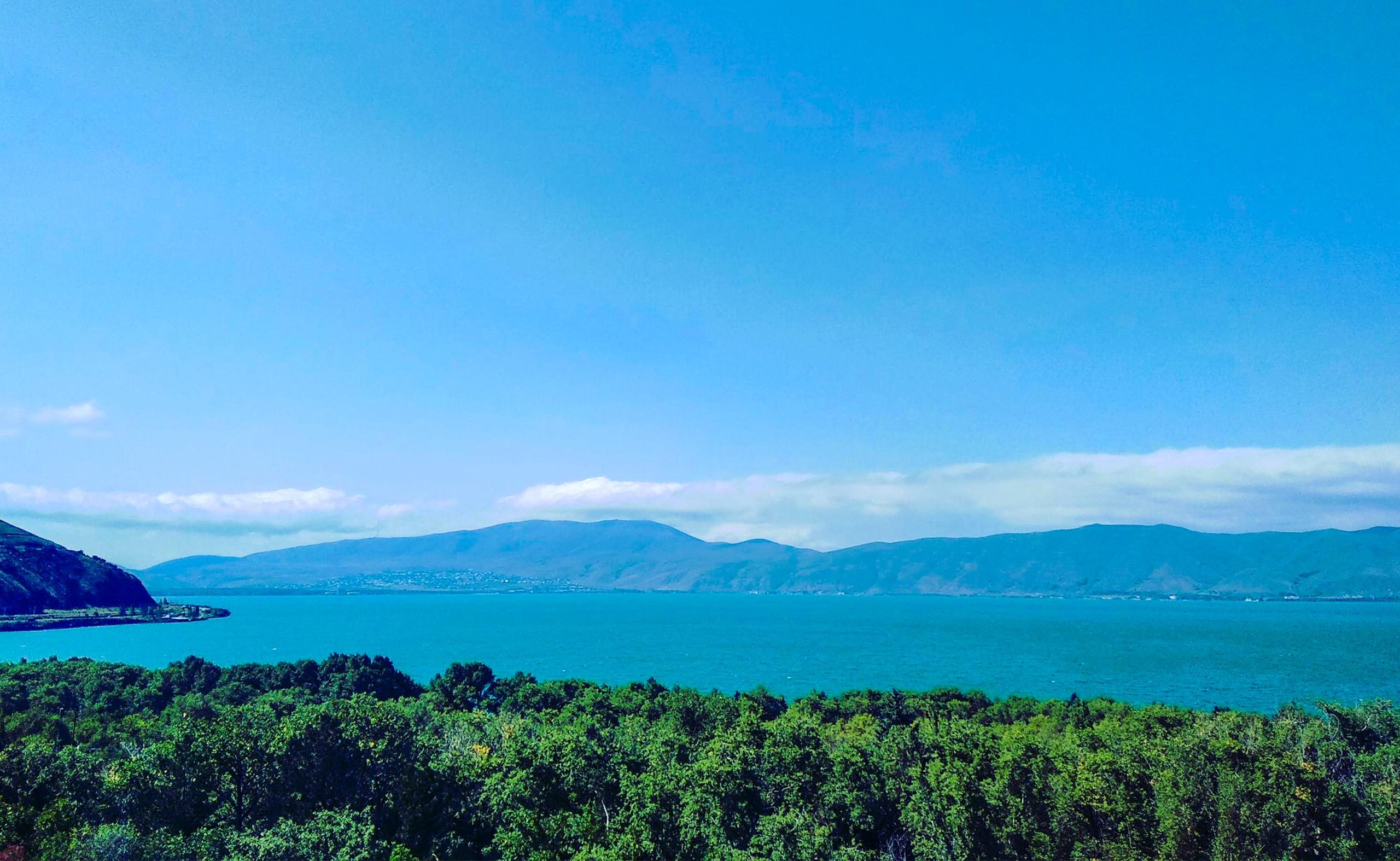
«A piece of the sky fell on the mountains » and many other poetic comparisons are unable to really describe the fascinating landscape of the lake surrounded by mountain ranges. Located at 1900 m above the sea level on the east side of Armenia, Sevan is one of the largest mountain lakes in the world (second after the Titicaca). The pelicans, the storks, the swans and also the pink flamingos stay and stop here during the migrations. Traditionally, the fish, Sevan trout is the reason for Sevan’s pride. Trout is a real specialty. The Armenians call the trout « ishkhan », that is « prince » for its spots that make one think of a crown. Its beauty as austere and majestic. This is a year-round vacation resort as it is a popular place for swimming, sailing and other recreational activities.
LAKE PARZ
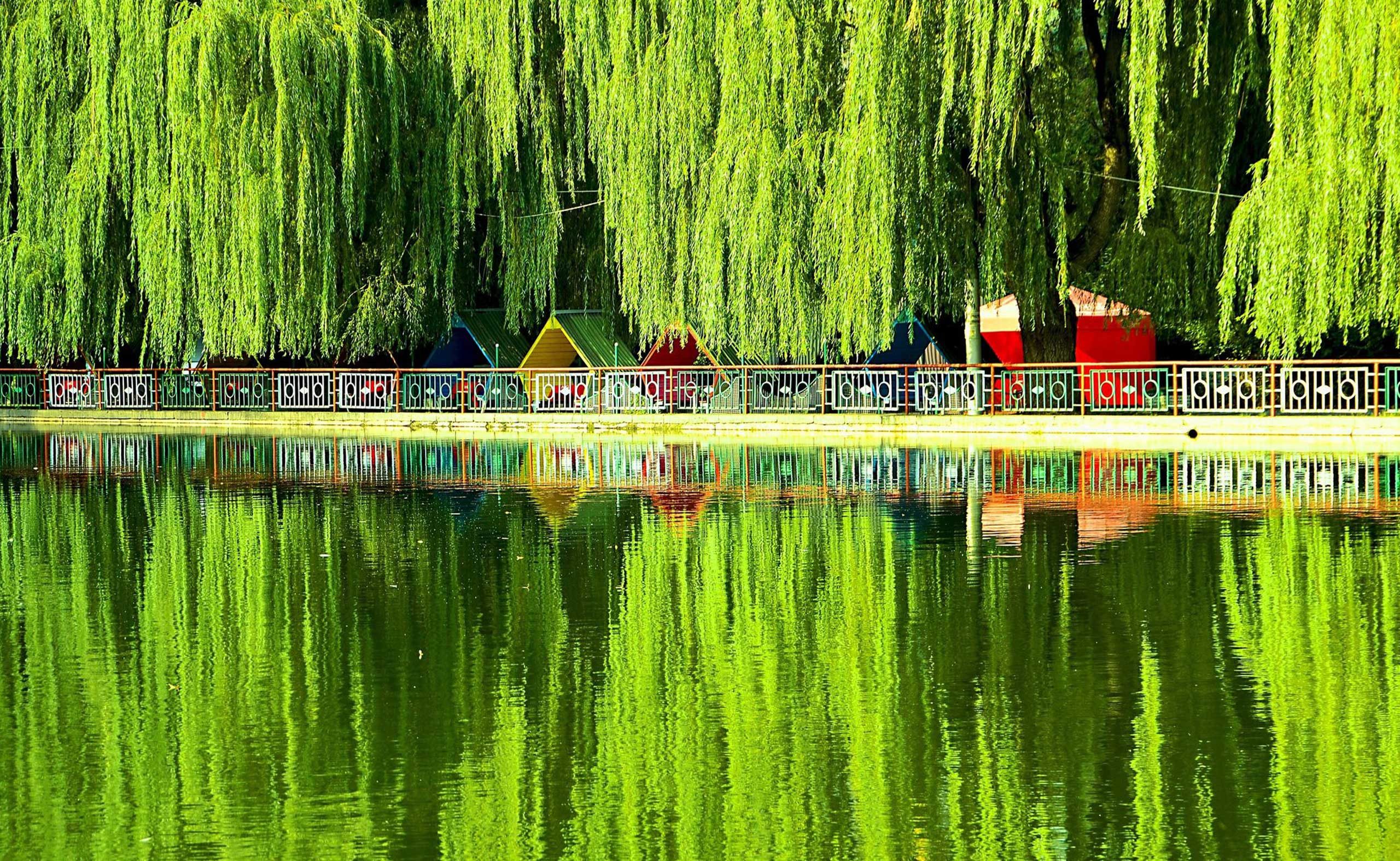
Lake Parz is a small lake located in the Dilijan National Park east of Dilijan.The lake was formed by natural climatic changes. “Parz” in Armenian means clear. In 2017 the TransCaucasian Trail was created to connect Parz Lake with the town of Dilijan and in the opposite direction with Gosh Village and Gosh Lake. The trail was created through the building of new trail segments to connect existing trails or dirt roads together. In 2018 was built a new trail that loops around the Lake. A restaurant with bar, paddle boats ropes course and zip lines are found around the lake.
LAKE ARPI
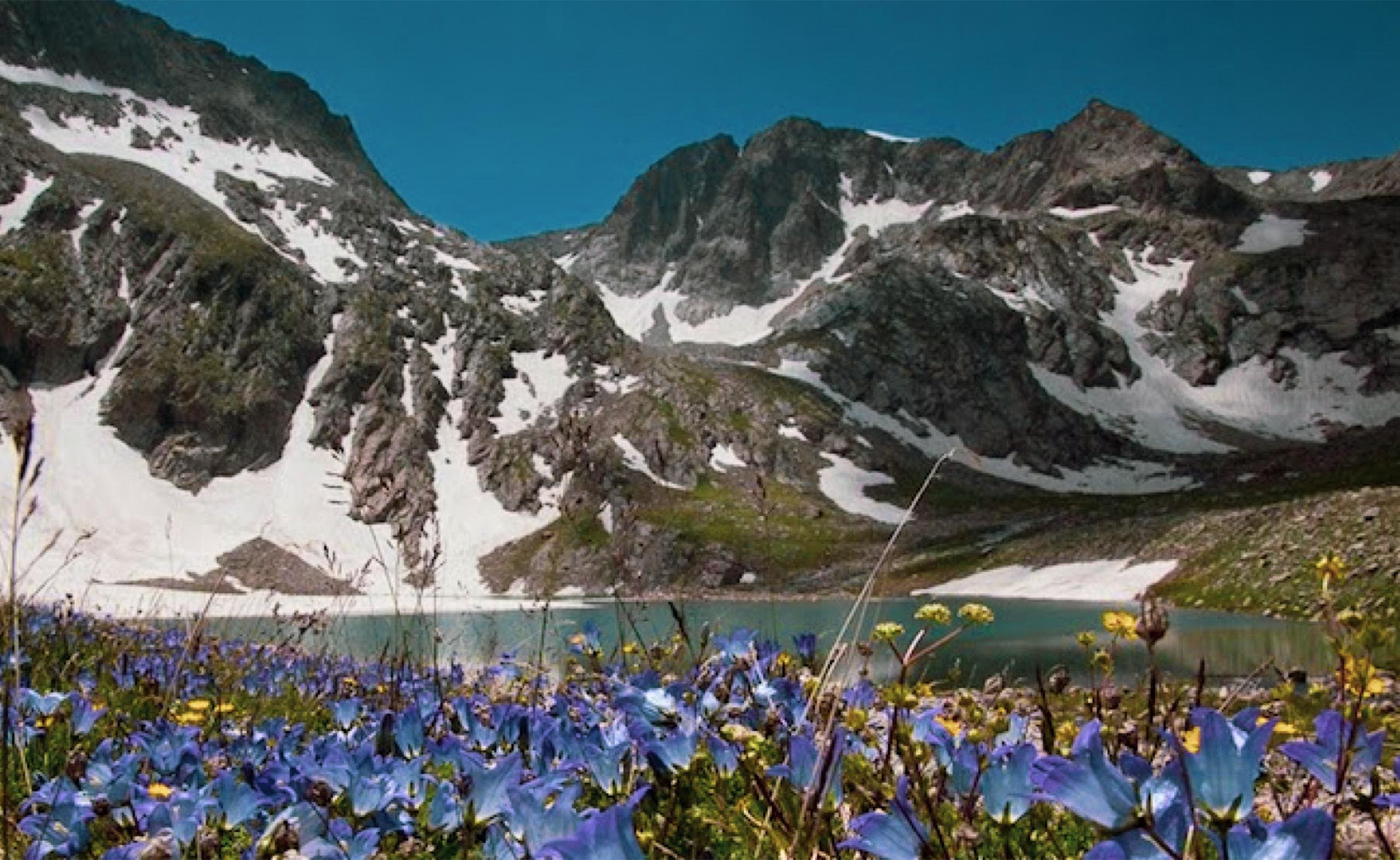
Lake Arpi is located in the Shirak province, on the Ashotsk plateau in the northwestern part of the country. The lake sits at an altitude of 2,025 m with an area of 220km2. It originates from a volcano tectonic earthquake. Lake Arpi has become the second most important body of water in Armenia, next to Lake Sevan. It is used for irrigation and hydropower production. The lake is fed by meltwater and four streams, and it is the source of the Akhurian River. The lake has rich flora and fauna. It is a Ramsar Convention protected site, and a national park was established around the lake in 2009. During the winter, it is completely covered by ice. In its waters, cyprinus and varicorhinus. More than 100 species of birds have been observed around Lake Arpi, that is why the area was recognized as Important Bird Area.
THE STONE PYRAMIDES OF OLD GORIS
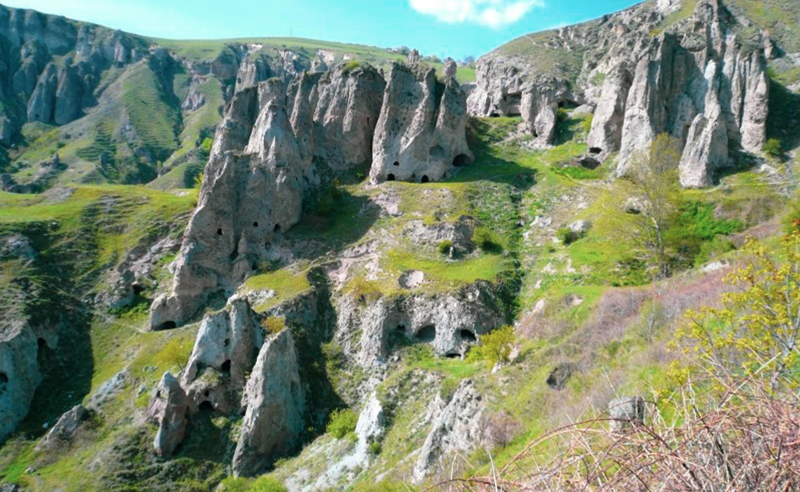
The stone formations of old Goris, created by natural events, are known as “burgher” (pyramids) and give some particular beauty to the nature of Goris. During the excavations, ceramic objects dating to the Bronze Age and copper, instruments, weapons, and various basalt and obsidian tools were discovered. Goris was considered as an important crossroad for caravans in the Middle Ages. The city of Goris is characterized by straight streets and houses of basalt and tufa, but the high rocks, the pyramidal peaks, the deep gorges, the caves give a special aspect to the city.
VOROTAN CANYON
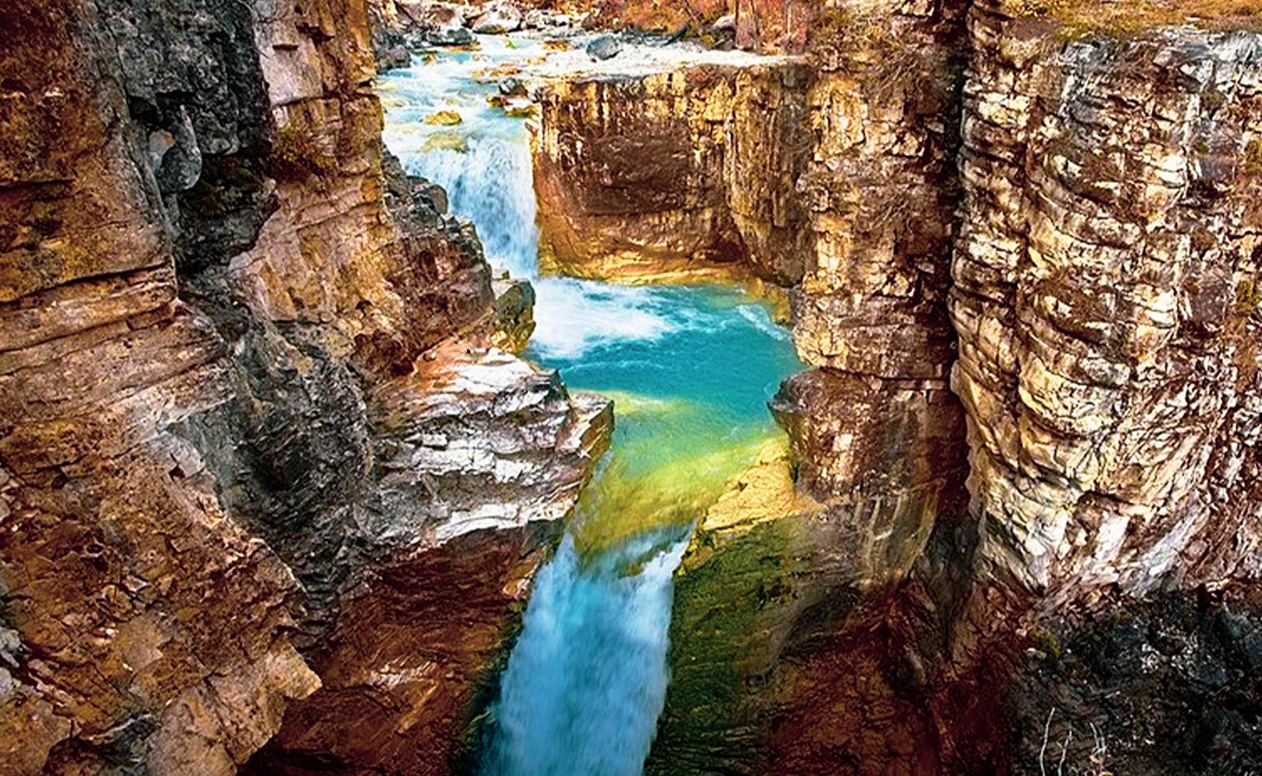
The canyon is Siunik’s crowning natural jewel, “Armenia’s Grand Canyon”; carved by a mountainous river that flows from the western part of the Karabakh Plateau. The river widens on the Sissian plane, dividing the town into its northern and southern districts. Just to the east of Sissian, the river begins its most breathtaking part; a series of fantastically deep canyons that divide into needle mountains and island fortresses, with spectacular multi-colored canyon walls and teeming waters that in the spring make up one of Armenia’s two world-class white-water rafting courses. Hiking is excellent in this area, especially in the forests. Trails include folowing the river west to Tatev (13 km to Devil’s Bridge, 20 km to the monastery) and Shamb reservoir (another 13 km); and to the north to Karahundj village (9.5 km) and Goris (12.5 km), or on top of the north rim, to Khot (11 km on a fantastically twisting and turning road with amazing views), Shinuhair (1.5 km W of Khot), Halidzor (another 3 km) and Tatev (19 km from Halidzor). These are challenging climbs, with steep hills and rocky slopes and should not be attempted without a qualified guide.
NORAVANK CANYON
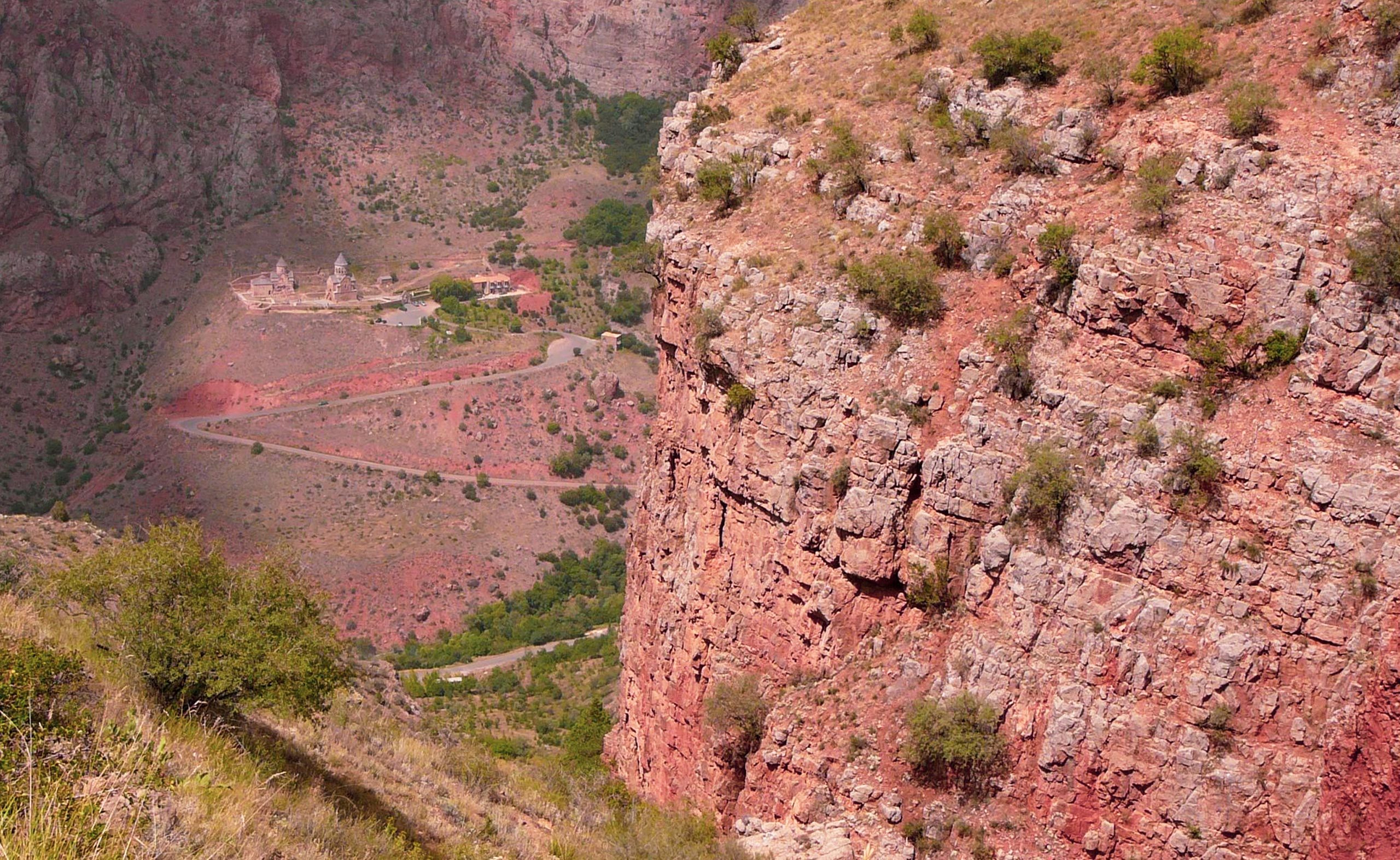
The road to Noravank follows the Gnishik River Canyon, eight kilometers of stunning terrain and spectacular rock formations, which appear from the abundant volcanic deposits in the region. The canyon area is famous for its numerous caves (Bird, Mageli, Archeri and Mozrov Caverns), its Flora (Wild Yellow Rose, pistachio, wild pear, herbs and berries) and fauna. This area has been recognized as an Important Bird Area (IBA) hosting some globally threatened bird species. It also hosts extensive colonies of endangered bats and one of the country’s most treasured and endangered animals, the Caucasian Leopard (Panthera pardus saxicolor). Noravank canyon flora is also very interesting and you can find not only rare plants but also an entire row of wild relatives of rare endemic cultivated plants, many species of medicinal plants, among them Spreading Pellitory and Scrophularia, a wonderful medicinal plant living in rock crevices, used as a homeopathic medicine to treat kidney stones.
ARENI, WINE WALK
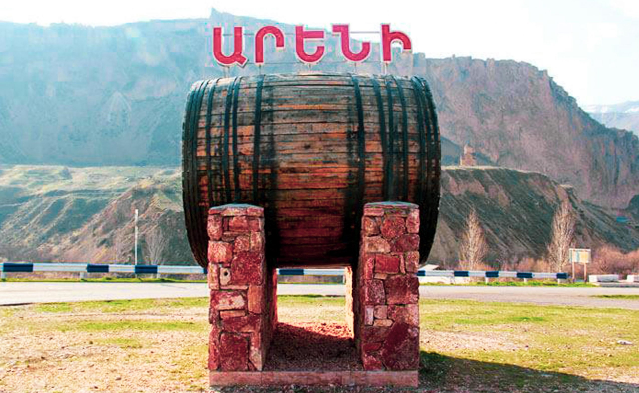
Areni is a village on the bank of the Arpa river. Some believe that Areni was founded by Noah and his sons who cultivated the land and planted the first grape vines. During the excavations, findings from the Bronze Age, Iron Age and Hellenic Age were discovered, including some large clay jugs used in winemaking. Already the chronicles of Herodotus, Xenophon and Strabo dispensed praise on the art of the Armenian winemakers and on that wine which, already at that time, left the national borders to be appreciated on the tables of the connoisseurs.
SILK ROAD CROSSED BY MARCO POPO
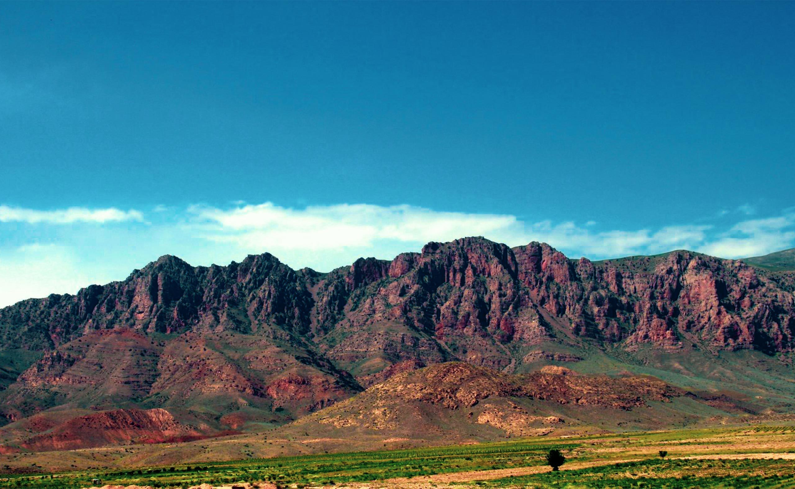
Many think that the Silk Road is the only one, but in reality there were so many ways that connected East to West, some by land, some by sea. These links crossed in Armenia and linked East and West, the South and the North. The caravanserais, where they found lodging the caravan components and their loaded animals, indicated the route of the Armenian Silk Road.
«KHOSROV FOREST» STATE RESERVE
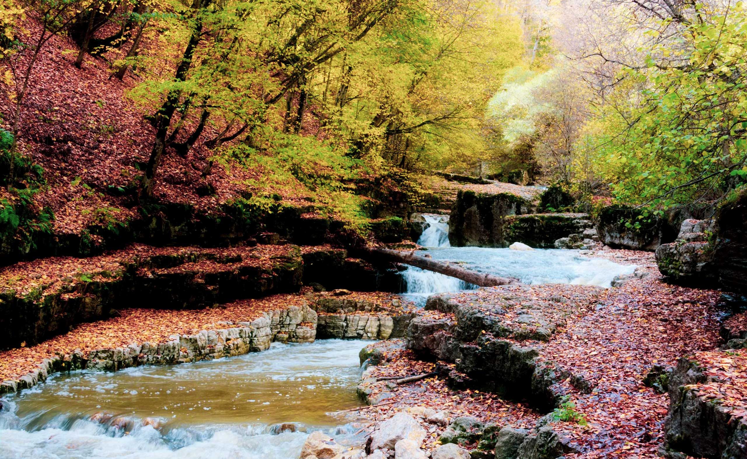
« Khosrov Forest » State Reserve is a natural wonderland in the heart of Armenia. It is one of the richest with biodiversity nature reserves’ in the temperate zone of the Earth. The Khosrov forest has a history of about 1700 years. The forest was founded in 334-338 by the order of Armenian King Khosrov II Kotak (Kotak means small), to improve the natural-climatic conditions of adjacent territories of Artashat city – the capital of Armenia of the given period and the newly established Dvin city to ensure conservation and enrichment of flora and fauna species; serve as a ground for royal hunting, military exercises and entertain. It preserves ancient cultural amenities, historical-architectural monuments, unique plant and animal species, splendid diversity of scientific landscapes. Covering only about 23,5 thousand ha Forest is a home for more than the half of the flora of Armenia (more than 3500 species) and about 1/3 of the wealth of the Caucasus flora (about 6000 species). The big range of mountainous ecosystems are habitats of 283 species of vertebrates, including highly endangered Caucasian leopard, Bezoar goat, Black vulture, Caspian snowcock, Armenian viper, etc.
